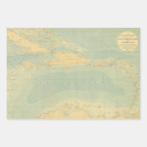
Antique Map of the Caribbean Sea Wrapping Paper Sheets

- from our Affiliates


Antique Map of the Caribbean ocean from 1881. Labelled “West India Islands and Caribbean Sea”, this historic map by the US Coast Survey is a "hand-colored bathymetric map of the Caribbean Sea based on soundings of the C&GS Steamer BLAKE under the command of Commander John R. Bartlett." It includes Cuba, Jamaica, Haiti, Puerto Rico, and other Caribbean islands.


