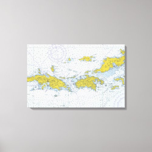
U.S. Virgin Islands nautical chart map Canvas Print

- from our Affiliates


Nautical chart map of the U. S. Virgin Islands in color, including St. Thomas, St. John and Tortola, shows soundings, harbors, channels, islands, and other features.


