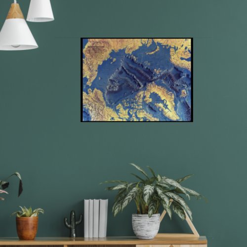
"Arctic: 1971/today - 3d seabed map ... Po Poster

- from our Affiliates


This distinct physical map of the Arctic seabed appeared in the question in October 1971 from national geographical as a supplement to the map of the Arctic. The detail of such underwater sites as continental shelves, abyss-deep plains, edges and fracture zones is breathtaking. A true work of art and a wonderful companion to the sea bottom maps Indian (1967), Atlantic (1968) and Pacific (1969). ・ land masses and the ocean floor, illustrated in the breathtaking relief ・ ocean depths ・ name of the underwater site and the important geographical regions: English


