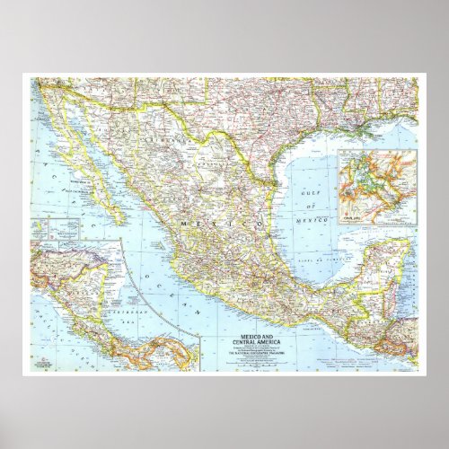
" Mexico and Central America: 1961 Detailed MAP... Poster


The Mexico and Central America map was published in October 1961, the same month Hurricane Hattie struck the coast of British Honduras (now Belize) and nearly destroyed Belize City. The capital was moved further inland to Belmopan in 1970. This map contains insets of Guadalupe Island and the Revilla Gigedo Islands as well as a map of the Panama Canal Zone. • Inset map of the Panama Canal Zone • Inset maps of Guadalupe Island and the Revilla Gigedo Islands • Capitals, cities, and towns • Pan American highway system, freeways, roads, railroads, canals, and places with scheduled air service • Ocean bathymetry, mountains, passes, rivers, lakes, intermittent lakes, and dry salt lakes • Oil fields and pipelines • Ruins


