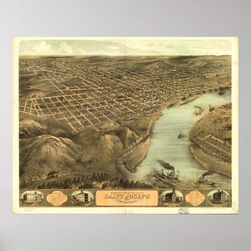
Saint Joseph Missouri 1868 Antique Panoramic Map Poster


Creating a panoramic map was an enormous task that took a commissioned map maker months to complete. The artist would build a map through a series of panels broken down by streets, rivers and mountain ranges. He would literally walk down the street sketching buildings, trees, people and landmarks to create each individual panel. Once all the panels were joined together, an incredibly detailed panoramic covering an entire city unfurled. The Library of Congress holds over 1,500 panoramic maps which have been carefully scanned using state of the art high resolution imaging and are now available to the public at America's finest historic map depot, Terra Prints - Classic. Looking for modern, high-resolution satellite imagery covering your favorite city, fishing lake, or national park?


