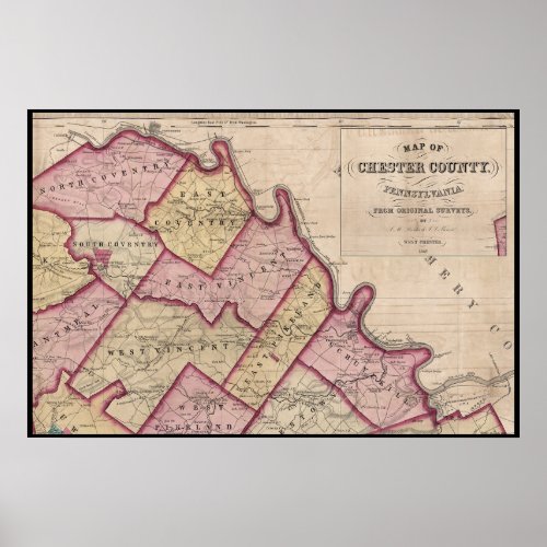
1847 Chester County PA Map Schuylkill River Poster

- from our Affiliates


1847 Map. The Northeast section of Chester County showing the Schuylkill River, the Schuylkill Canal and the Philadelphia and Reading Rail Road. Locations of Ferries and Fords across the Schuylkill River. Landmarks: Frick's Locks, Valley Forge Encampment, Black Rock Tunnel. Townships include: East Coventry, North Coventry, South Coventry, West Vincent, East Vincent, East Pikeland and Schuylkill.


