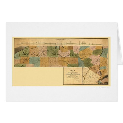
New York & Erie Railroad Map 1834

- from our Affiliates


From the largest and most comprehensive cartographic collection in the world, Zazzle brings you this commemorative card featuring a reproduction of an original map of the route of the proposed New York & Erie Railroad, as surveyed in 1834; shows New York state from Westchester County to Lake Erie, and part of northern Pennsylvania and New Jersey; the line was chartered on April 24, 1832; published in 1834.


