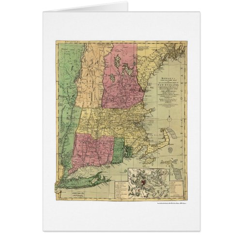
Bowle's Map of New England 1784

- from our Affiliates


From the largest and most comprehensive cartographic collection in the world, Zazzle brings you this commemorative card featuring A print of a Bowles's new pocket map of the most inhabited part of New England; comprehending the provinces of Massachusetts Bay and New Hampshire; with the colonies of Connecticut & Rhode Island; divided into their counties and townships together with an accurate plan of the town, harbour and environments of Boston from 1784.


