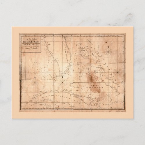
Map of the Bahama Banks and Islands (1817) Postcard

- from our Affiliates


Title A new chart of the Bahama Banks and Islands with a part of the island of Cuba & coast of East Florida with all the shoals, reefs and banks in its vicinity Contributor Names Lambert, Samuel, 1768-1832. Created / Published [Salem, Mass.? : s.n., 1817] Subject Headings - Nautical charts--Bahamas - Bahamas--Maps - Bahamas


