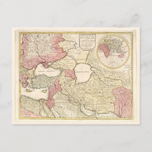
Map of the Middle East (1725) Postcard

- from our Affiliates


Title Theatrum historicum ad annum Christi quadringentesimum : in quo tum Imperii Romani tum Barbarorum circum incolentium status ob oculosponitur pars orientalis Contributor Names L'Isle, Guillaume de, 1675-1726. Created / Published London : Sold by J. Senex, [1725] Subject Headings - Middle East--Maps--Early works to 1800 - Middle East Genre Early maps Notes - Shows nations and their borders in color. - Relief shown pictorially. - Includes globe-shaped inset titled "Supplementum Theatro Historicum" showing continents of Africa, Europe, Asia and northern boundaries of Australia, all with different colors.


