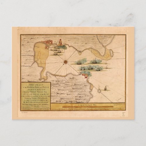
Map of Portobelo Bay, Panama (1740) Postcard

- from our Affiliates


Title This plan of the harbour, town, and forts of Porto Bello (taken by Edward Vernon, esqr. vice admiral of the Blue on the 22d of November 1739 with six men of war only) Contributor Names Durell, Philip, -1766. Rentone, James. Created / Published [London] : Sold by S. Harding on the Pavement in St. Martin's Lane : W.H. Toms, Engraver, in Union Court near Hatton Garden Holborn, 1740. Subject Headings - Portobelo Bay (Panama)--Maps--Early works to 1800 - Portobelo (Panama)--Maps--Early works to 1800 - Panama--Portobelo Bay - Panama--Portobelo


