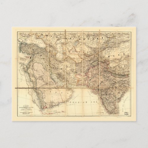
Middle East Map (1885) Postcard

- from our Affiliates


Title A map of the countries between Constantinople and Calcutta : including Turkey in Asia, Persia, Afghanistan & Turkestan. Contributor Names Edward Stanford Ltd. Created / Published London: Edward Stanford, [1885] Subject Headings - Middle East--Maps - South Asia--Maps - Europe, Eastern--Maps - Middle East - South Asia - Eastern Europe Genre Maps Notes - Shows railroads, submarine telegraphs, and boundaries of British possessions colored in red. - Relief shown by hachures and spot heights. - "Stanford's Geogl. Establ." - Includes distance table between cities in Britain, France and Egypt.


