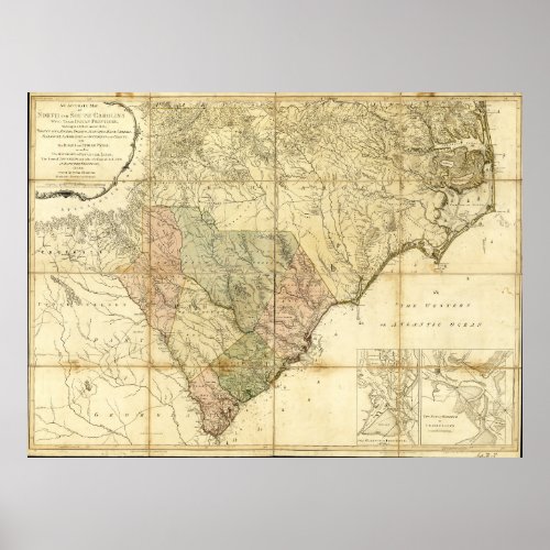
North & South Carolina Map (1775) Poster


Title An accurate map of North and South Carolina with their Indian frontiers, shewing in a distinct manner all the mountains, rivers, swamps, marshes, bays, creeks, harbors, sandbanks and soundings on the coasts; with the roads and Indian paths; as well as the boundary or provincial lines, the several townships and other divisions of the land in both the provinces; Contributor Names Mouzon, Henry. Robert Sayer and John Bennett (Firm) Created / Published London, Printed for Robt. Sayer and J: Bennett, 1775. Subject Headings - North Carolina--Maps--Early works to 1800 - South Carolina--Maps--Early works to 1800 - North Carolina--Administrative and political divisions--Maps--Early works to 1800 - South Carolina--Administrative and political divisions--Maps--Early works to 1800 - Harbors--South Carolina--Charleston--Maps--Early works to 1800 - Harbors--South Carolina--Beaufort--Maps--Early works to 1800 - Sea Islands--Maps--Early works to 1800 - United States--North Carolina - United States--South Carolina - United States--South Carolina--Charleston - United States--South Carolina--Beaufort - United States--Sea Islands


