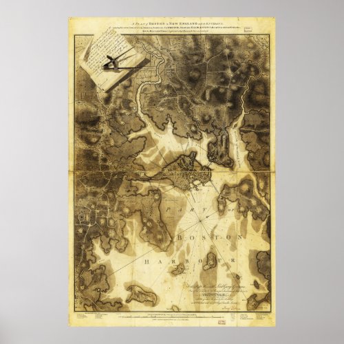
Plan of Boston Map by Henry Pelham (1775-1776) Poster

- from our Affiliates


Title A plan of Boston in New England with its environs, including Milton, Dorchester, Roxbury, Brooklin, Cambridge, Medford, Charlestown, parts of Malden and Chelsea with the military works constructed in those places in the years 1775 and 1776. Contributor Names Pelham, Henry, 1749-1806. Created / Published London, 1777. Subject Headings - Fortification--Massachusetts--Boston--Maps--Early works to 1800 - Boston (Mass.)--History--Siege, 1775-1776--Maps--Early works to 1800 - Boston (Mass.)--Buildings, structures, etc.--Maps--Early works to 1800 - United States--Massachusetts--Boston


