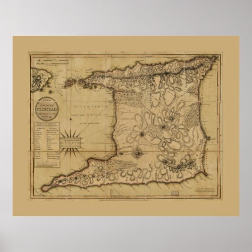
Map of the Isle of Trinidad (1797) Poster

- from our Affiliates


Title Plan of the Isle of Trinidad : from actual surveys made in the year 1797 Other Title Isle of Trinidad Contributor Names Laurie & Whittle, cartographer. Fillmore, Millard, 1800-1874, collector. Allen, George, active 1790-1821. Created / Published London : Robert Laurie & James Whittle, 1809. Subject Headings - Trinidad--Maps--Early works to 1800 - Trinidad Genre Early maps


