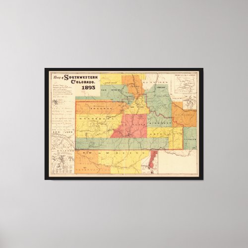
Map of Southwestern Colorado (1893) Canvas Print


Title Map of Southwestern Colorado / Contributor Names Fischer, Emil B. Created / Published [S.l. : s.n.], 1893. Subject Headings - Colorado--Maps - Mines and mineral resources--Colorado--Maps - Railroads--Colorado--Maps - Southern Ute Indian Reservation (Colo. and Wyo.)--Maps - United States--Colorado - United States--Colorado--Southern Ute Indian Reservation Notes - Insets: Railroad systems reaching Durango [from Denver, Salt Lake City, Albuquerque, and Phoenix] -- Plat of Needle Mountain mines -- Plat of Durango and surroundings -- Plat of mines at La Plata Mountains, California Mining District -- Plat of San Juan Co., Utah. - Includes land districts, Indian reservations, railroads, irrigation canals, and part of New Mexico. Also shows the east boundary line of Ute ceded lands.


