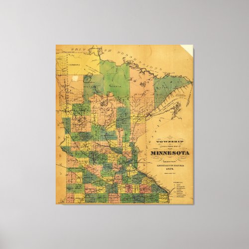
Township and Railroad Map of Minnesota (1874) Canvas Print

- from our Affiliates


Title Township and railroad map of Minnesota published for the Legislative Manual, 1874. Summary Detailed map showing relief by hachures, drainage, cities and towns, township and county boundaries, and the railroad network. Contributor Names Reed, A. J. Created / Published [n.p., 1874] Subject Headings - Minnesota--Maps - United States--Minnesota


