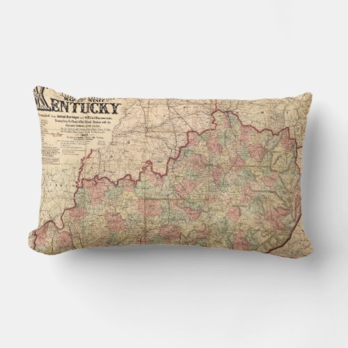
State of Kentucky Map by James Lloyd (1862) Lumbar Pillow

- from our Affiliates


Title Lloyd's official map of the State of Kentucky : compiled from actual surveys and official documents, showing every rail road & rail road station with the distances between each station : also the counties and county seats, cities, towns, villages, post offices, wagon roads, canals, forts, fortifications, &c. Other Title Official map of the State of Kentucky Official map of the State of Kentucky Contributor Names Lloyd, James T. Created / Published New York : J.T. Lloyd, 1862. Subject Headings - Kentucky--Maps - Railroads--Kentucky--Maps - Kentucky--History--Civil War, 1861-1865--Maps - United States--Kentucky


