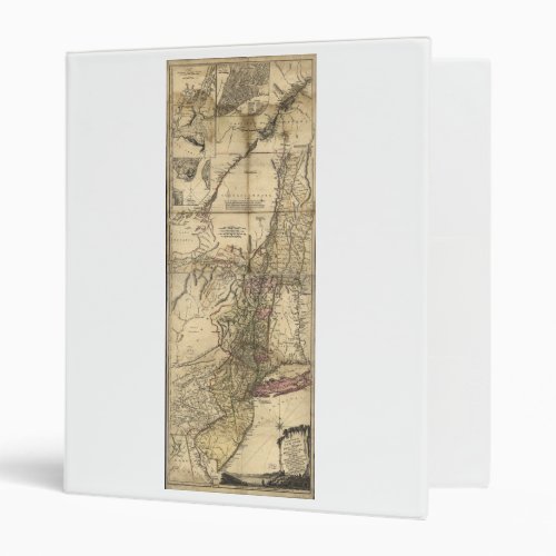
New Jersey Pennsylvania New York Map (1777) Binder

- from our Affiliates


Title The provinces of New York, and New Jersey; with part of Pensilvania and the province of Quebec. Drawn by Major Holland, Surveyor General of the Northern District in America. Contributor Names Pownall, Thomas, 1722-1805. Holland, Samuel, 1728-1801. Broenner, Harry Lodowick. Contger, Henry. Created / Published Frankfort upon the Mayn, Harry Lodowick Broenner, 1777. Subject Headings - New York (State)--Maps--Early works to 1800 - New Jersey--Maps--Early works to 1800 - New York (State)--Administrative and political divisions--Maps--Early works to 1800 - United States--New York (State) - United States--New Jersey


