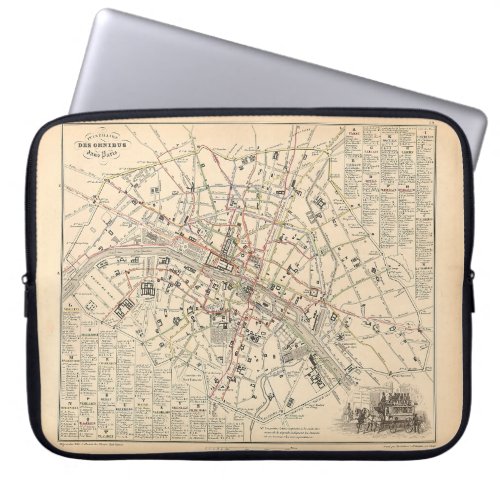
1858 Map: Itineraire des Omnibus dans Paris France Laptop Sleeve


See all Alexandre Vuillemin French Atlas Maps here: https://www.zazzle.com/store/zephyrusbooks/products?cg=196872612325044522 - - Bus routes in Paris, 1858. Atlas page from an 1858 French Atlas: "France and its Colonies" (La France et ses Colonies: Atlas illustré) by Alexandre Vuillemin and Ernest Poirée. This atlas had maps of all the French Departments and overseas possessions of the time. Vuillemin's maps are noted for the extensive margin illustrations - vignettes, famous people, and views of cities. Each map was titled with a different font, and the fonts, decorations and marginalia changed with each subsequent edition. Later editions were often more elaborate and sometimes larger than the maps I have scanned here. Very high resolution image suitable for large or small copies. This is a reproduction and may have been digitally enhanced to brighten contrast, repair flaws, major stains, etcetera. Options such as border sizes, background and border colors, and certain text may be edited and changed if you like. Just click the Design Tool or Customize button. This image has been edited to adjust for age and discoloration, and to repair any major defects. Image courtesy of OldBookArt.com.


