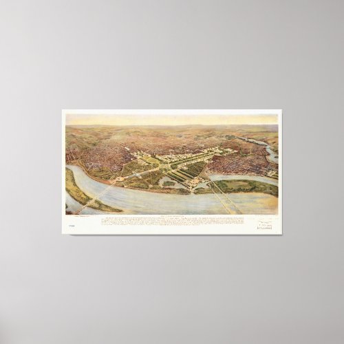
The Ultimate Washington D.C. Map (1915) Canvas Print


Title The ultimate Washington. Contributor Names National Geographic Society (U.S.) Hoppin, F. L. V. Created / Published [Washington : National Geographic Society, 1915] Subject Headings - City planning--Washington (D.C.)--Maps - Washington (D.C.)--Aerial views - United States--District of Columbia--Washington Notes - Low-angle bird's-eye view of planned buildings in central Washington. - "The plan laid out by the Commission of 1901 for the national capital of the future ..." - "From the original rendering by F.V.L. Hoppin." - "Supplement to National Geographic Magazine, Washington, D.C." - From the National geographic magazine, Mar. 1915. - Oriented with north toward the upper left.


