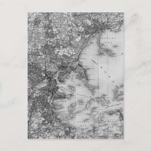
Vintage Map of Boston Postcard


Old Topographical Map of Boston Massachusetts. Discover the past of Boston on this historical map. Chart of Boston Harbor, Massachusetts History of Jamaica Plain Lexington, Watertown, Brighton, Merville, Brookline, Roxbury, Hyde Park, Milton, Dorchester, Cambridge, Charlestown, Boston, Dorchester Bay, Roxbury, Quincy, Needham, Dedham, Waltham, Belmont, Somerville, Newton, Medford, Lexington, Winchester, Saugus, Stoneham, Wakefield, Lynne, Melrose, Everett, Dover and vicinity. Historic USGS Topographic Map of Boston 1903 Poster Historic USGS topographic map of Boston, Massachusetts based on the 1903 edition. The map covers the city of Boston, as well as neighboring communities, from Quincy and Dedham in the south to Woburn and Stoneham in the north, and west to Newton, Waltham, and Lexington. Shows numerous details, including roads, railroads, rivers, ponds, named hills, as well as elevation contour lines


