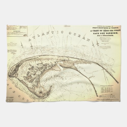
Old (1833) Map of Provincetown Truro Towel

- from our Affiliates


1830's ... the early days of the outer cape , ptown and truro... before the railroad, summer beach houses and National Seashores. This is a beautifully restored Chart of the Provincetown and Truro "Townships" This Sea Coast map includes famous landmarks on Cape Cod Harbor: Race Point, Long Point and Cape Cod Lighthouse (now Highland Light). A great gift idea ... Clean and crisp with tons of information including daily record of high/low tide markings, soundings and triangulation. The antique map shows roads and buildings, ponds and flats. Bar towels or drying towels.


