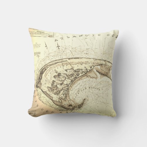
Map of Provincetown in 1830's Truro Throw Pillow

- from our Affiliates


A throw pillow from the early days of the outer cape cod, ma, PTown and Truro... before the railroad, summer beach houses and National Seashores. This is a beautifully restored Chart of the Provincetown and Truro "Townships" This Sea Coast map includes famous landmarks on Cape Cod Harbor: Race Point, Long Point and Cape Cod Lighthouse (now Highland Light). A great gift idea ... Clean and crisp with tons of information including daily record of high/low tide markings, soundings and triangulation. The antique map shows roads and buildings, ponds and flats. “Map of Provincetown” “Cape Cod map” “Old maps” Truro Map Chart Coastal Nautical Massachusetts “Cape Cod” “provincetown ma” Barnstable


