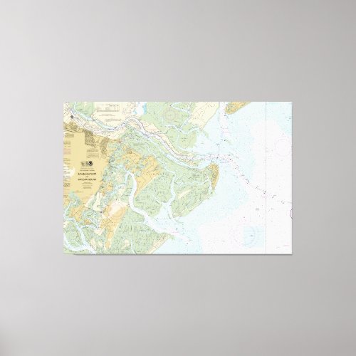
Savannah River and Wassaw Sound Nautical Chart Canvas Print


This is NOAA chart 11512. It covers an area from Calibogue Sound, South Carolina south to below Wassaw Sound, Georgia. Color shading on the chart indicates various water depths and land elevations. Depth Soundings are in feet. Also included on the chart are aids and hazards to navigation. Typically mariners use nautical charts covering the Georgia and South Carolina coasts for navigation. Chart 11512's purpose is for near-shore, inshore, and intercostal navigation. NOAA is phasing out its paper charts. Electronic charts for onboard navigation are replacing paper charts. Certain products in our collection utilize cropped elements on the chart. We remove sections to improve the overall aesthetic quality of the image. Cropping and reprinting charts make them unsuitable for navigation. However, the charts in this collection are ideal for home and business decor. Framed nautical charts make great conservation pieces. Nautical charts printed on other products in our collection make excellent additions to the decor in living areas, bedroom areas, and bathrooms. Nautical charts are also printed on various accessories and apparel. Significant landmarks and navigational references include Calibogue Sound, the southern end of Hilton Head Island, the Cooper River, The New River, Turtle Island, and Jones Island, the center portion of the map contains the Savannah River, the City of Savannah, Tybee Island, Tybee Light, the shipping channel (Tybee Roads), Little Tybee Island, Wilmington Island, Oakland Island, and Whitemarsh Island. The bottom section contains Wassaw Sound, Little Wassaw Island, Skidaway Island, the Vernon River, and portions of the Little Ogeechee River.


