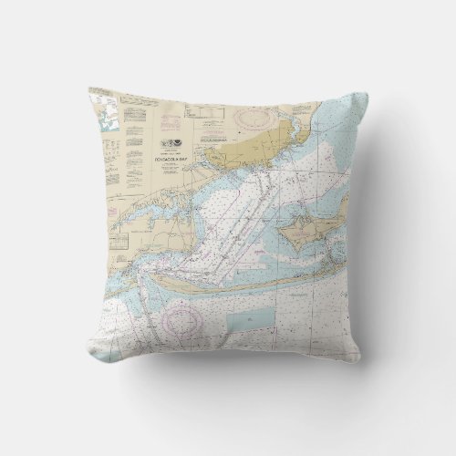
Pensacola Bay Nautical Chart 11383 Throw Pillow


This is NOAA’s chart number 11383 titled, “Pensacola Bay.” The chart is based on the original, traditional NOAA paper nautical chart. It covers the harbor approach to Pensacola between Perdido Key and Fort Pickens, then on to Pensacola Bay. The chart's scale is 1:30,000 at 30°22’N. Color shading on the chart indicates various water depths and land elevations. Depth soundings are in feet. Also included on the chart are aids and hazards to navigation. Typically, mariners use nautical charts covering this map scale for nearshore and inshore navigation. NOAA is phasing out this paper chart and others like it. The phase-out completion date for all paper charts is January 2025. Electronic charts for onboard navigation are replacing paper charts. Certain products in our collection utilize cropped or edited elements on the chart. We remove sections to improve the overall aesthetic quality of the image. Cropping and reprinting charts make them unsuitable for navigation. However, the charts in this collection are ideal for home and business decor. Framed nautical charts make great conservation pieces. Nautical charts printed on other products in our collection make excellent additions to the decor in living areas, bedroom areas, and bathrooms. Nautical charts are also printed on various accessories and apparel. Significant landmarks and navigational references West Haven Beach, Pensacola, Pensacola Beach, Navarre Beach, Gulf Islands National Seashore, Santa Rosa Sound, Butcherpen Cove, Old Navy Cove, English Navy Cove, Pensacola Bay, Escambia Bay, Indian Bayou, Warrington, Big Lagoon, Perdido Key, Perdido Bay, Wolf Bay, Josephine, Perdido Beach, Magnolia Bluff, Woodlawn Beach, and Oriole Beach.


