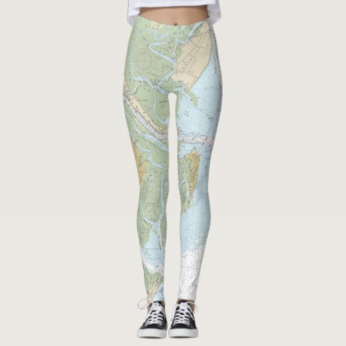
Savannah River and Wassaw Sound - Nautical Chart Leggings


This design is officially titled, “Savannah River and Wassaw Sound.” The chart is based on the authentic NOAA chart 11512. Original NOAA charts, such as this one, were designed for nearshore, coastal, Great Lakes, and harbor navigation. However, for anyone living on, or near the water, nautical charts make great decor items for the home or business. Some of the significant places and landmarks on this nautical chart include the following nautical features and landmarks: Calibogue Sound, the southern end of Hilton Head Island, the Cooper River, The New River, Turtle Island, and Jones Island, the center portion of the map contains the Savannah River, the City of Savannah, Tybee Island, Tybee Light, the shipping channel (Tybee Roads), Little Tybee Island, Wilmington Island, Oakland Island, and Whitemarsh Island. The bottom section contains Wassaw Sound, Little Wassaw Island, Skidaway Island, the Vernon River, and portions of the Little Ogeechee River. The chart has been cropped to include the most significant areas covered by this chart, based on this product’s aspect ratio.


