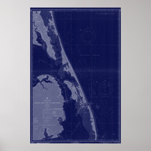
Outer Banks NC OBX Map Nautical Chart Blue Art

- from our Affiliates


This is an Outer Banks, OBX North Carolina state map which depicts Currituck Beach Light to Wimble Shoals from 1966. All map art is vintage and will have minor imperfections which only adds to the character. These vintage maps/charts are not to be used for navigation.


