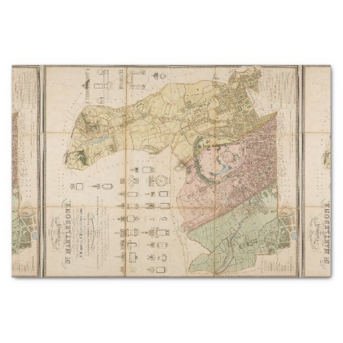
1834 map of the borough of St Marylebone (London) Tissue Paper

- from our Affiliates


Topographical survey of the borough of St. Marylebone, as incorporated by Act of Parliament 1832, embracing and marking the boundaries of the parishes St. Marylebone, St. Pancras and Paddington. The plan was engraved by B.R. Davies, blank spaces filled with plans and elevations of 20 important buildings, 1145 x 950mm, dated 1834.


