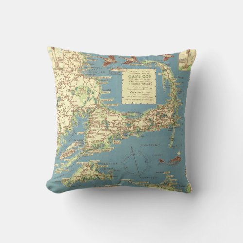
Vintage Cape Cod Map (1940) Throw Pillow


Cape Cod, often referred to locally as simply the Cape, is a cape in the easternmost portion of the state of Massachusetts, in the Northeastern United States. Today it is co-extensive with Barnstable County, and is defined by the towns along the Cape Cod Canal, and those to the east on the peninsula all the way to Provincetown, and several small islands right off Cape Cod, including Monomoy Island, Monomoscoy Island, Popponesset Island, and Seconsett Island, are also in Barnstable County, being part of municipalities with land on the Cape. Historically, however (pre-canal construction and separation from the mainland), "Cape Cod" referred to Marshfield and towns to the south, and west to Wareham, where one will notice the same characteristic Cape landscape and flora indigenous to Cape Cod. The Cape's historic and maritime character and ample beaches attract heavy tourism during the summer months. Cape Cod was formed as the recessional moraine of a glacier, resulting in a peninsula in the Atlantic Ocean. In 1914, the Cape Cod Canal was cut through the base or isthmus of the peninsula, forming what may be loosely described as an island.


